|
| |
- VICENTE LOPEZ, NORTH BUENOS AIRES SHORE PARK, ARGENTINE executed 2000
- de la Plata River Bay
- Project and Direction of Works
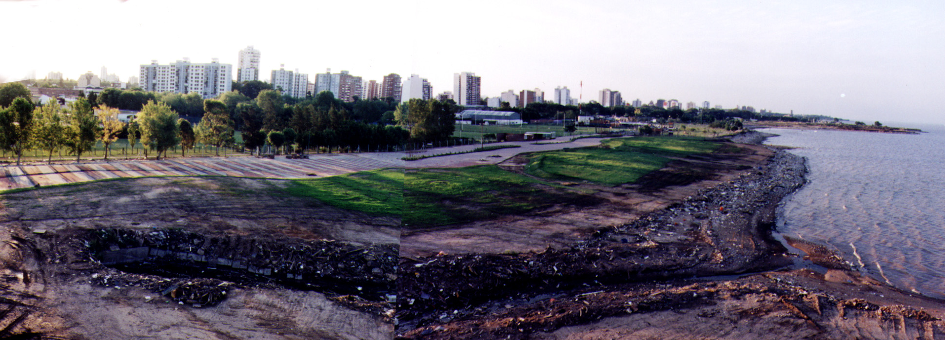
Shore Area
Projected MASTER PLAN 5 km long park.
Executed work 500m long.
Project and direction
Project Team
Cadau-Gimenez-Galvez, Lorenzo-Eiroa associated architect
Pages-Rausch design architects
Lucia Giapapietra landscape designer
- State Officials:
- Major: Intendente J. Garcia.
- Public Works: Silvina Mosca
Planning Director: Jose Herran
Work development: Sheiland
-
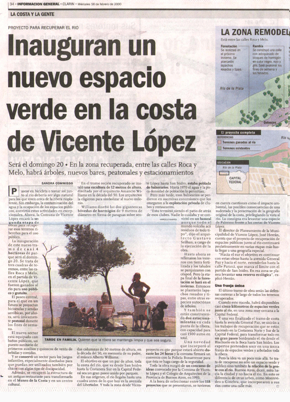
Work developed by the Municipality of Vicente Lopez, after an open competition for a master plan
won by the team Cadau Gimenez Galvez.
Associated to the winning Team of this Competition in 1994 as designer and
Director of Works.
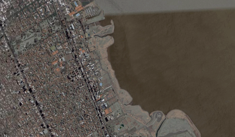
Two Sectors developed out of a 5 km long Master plan. This two Sector were the North
area at Lincoln Schools and the South area, Club Municipalidad.
SEQUENCE STUDY-PROJECT AND DIRECTION OF WORKS.
-
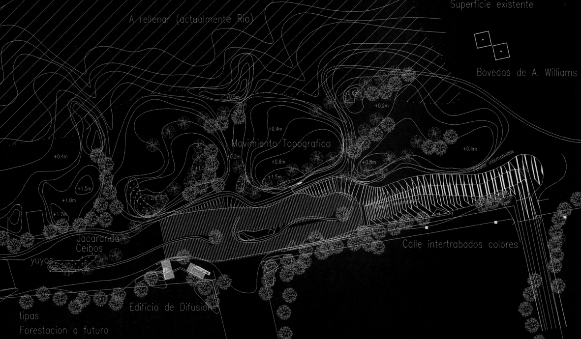
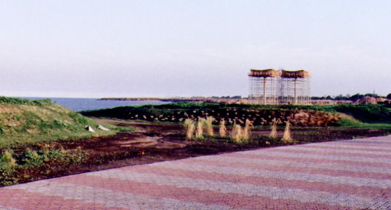
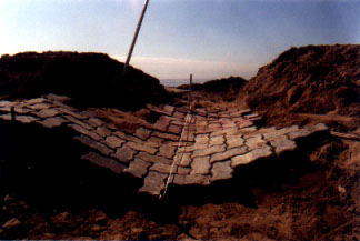
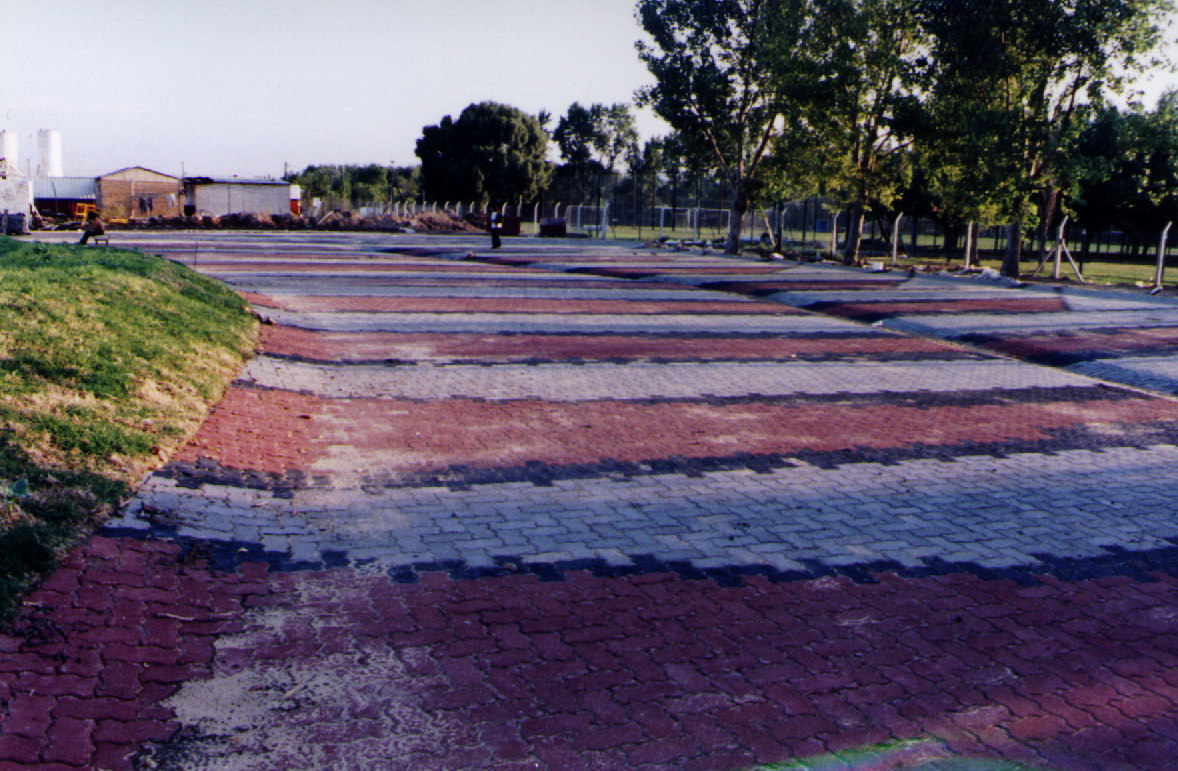
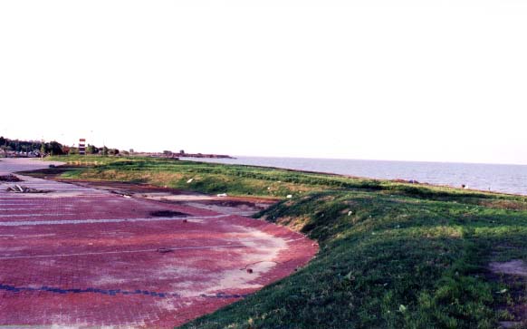
TOPOGRAPHY:
Systematization of certain ground movements, accumulations of different types of
soil strata (stone-bedrock-dirt-grass). These movements are planned in
scale of actions and regarding perpendicular interventions to relate the Park and
its perspectives to de la Plata River. These limits outline the ranges of measurement of interventions with the topography, that are
systematized in their different repeated
configurations but changing in its form (each repetition varies in angle, it curvature)
establishing by this way, gradual differentiations.
- Crossed relations with other studied systems.
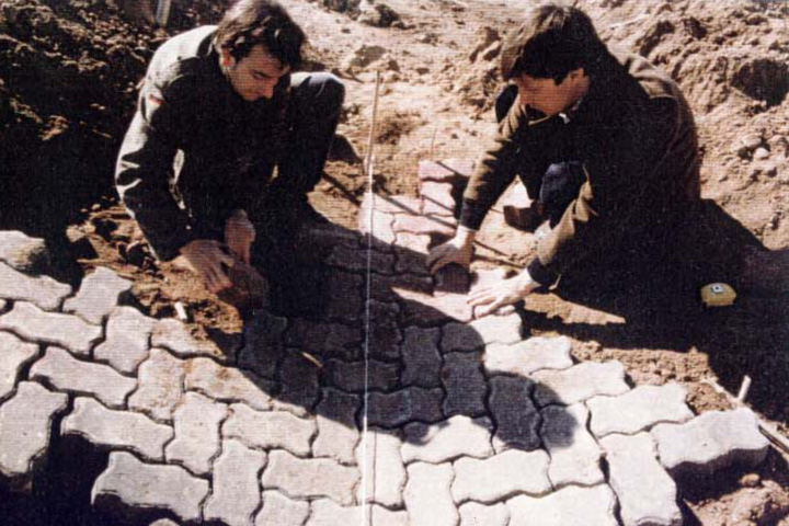
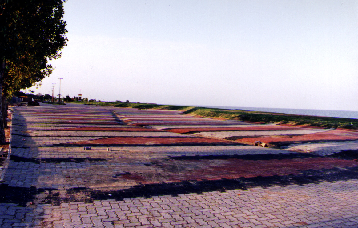
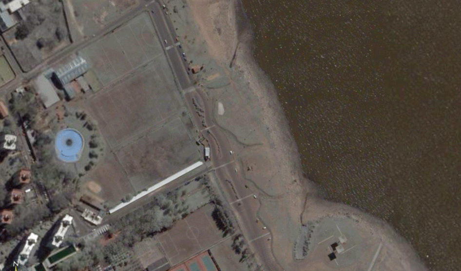
TOPOGRAPHY-STREET
Through the movement of the street blocks mesh and the previous study of this feasibility,
the border of the street could be banked for formalizing this special relationship
and through this way to allow other smooth diversity. The vehicles can park to see the
river, but they are not seen from the shore (at the time these slopes create a barrier to
the continuous traffic) and in turn for their measures in height, they allow visual
continuity with the landscape.-
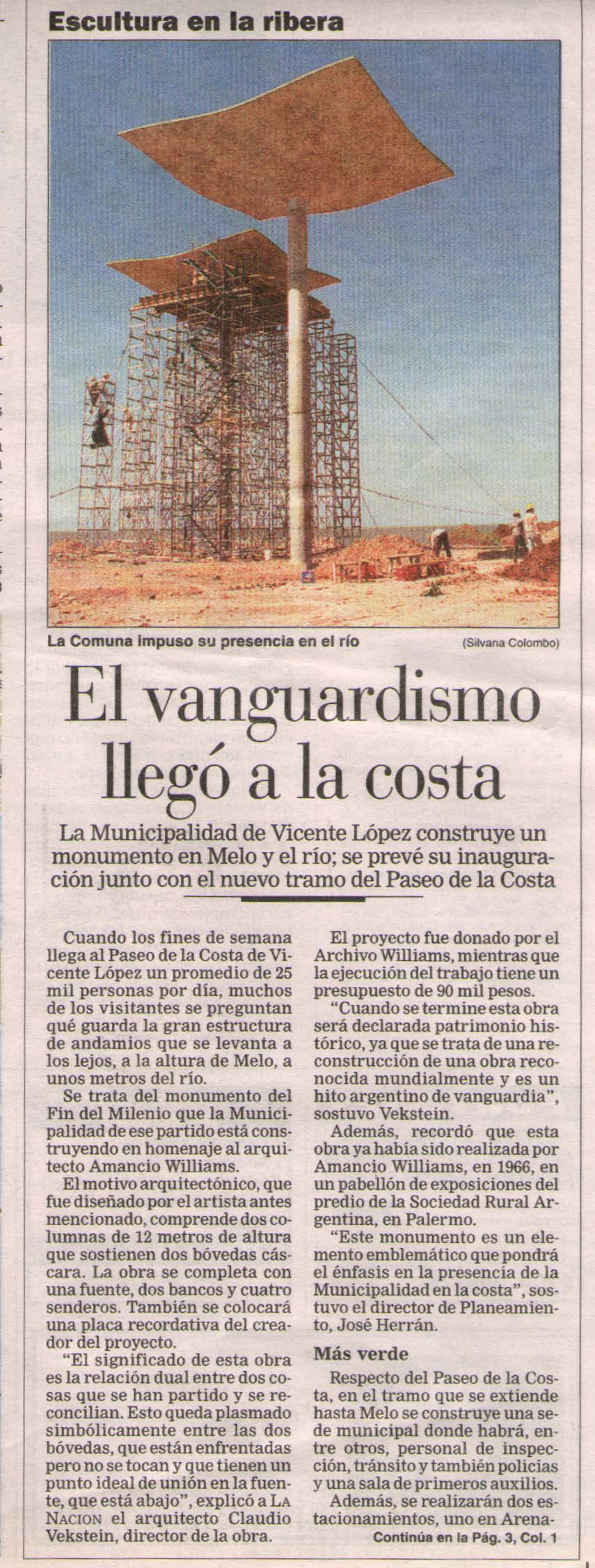
TOPOGRAPHY- A. WILLIAMS MONUMENT- FORESTATION
Related to the topography, appears in the landscape a modern monument
that bends certain
continuity among some inserted parts and sectors of both systems. By framing the landscape
and producing a discontinuous but integrated space, the curvature of the
vaults of the monument are in continuity with this
landscape. This work is extended to the FORESTATION
system (relations with arboreal-mass-gramineous framing perspectives
towards the monument).
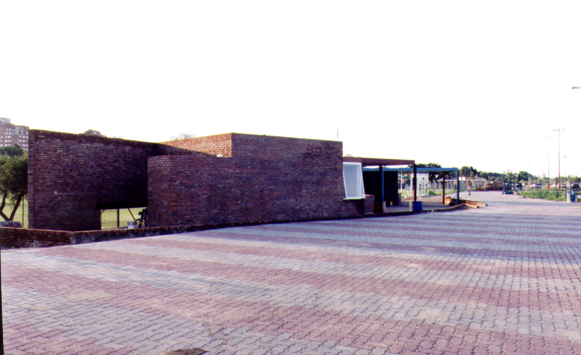
- TOPOGRAPHY-BUILDINGS
Certain Continuities were worked out in order to place buildings within the
landscape. These service buildings depressed in relation to the level of the
landscape, they attempt to settle down certain permeability
framing the west of the park.
|